


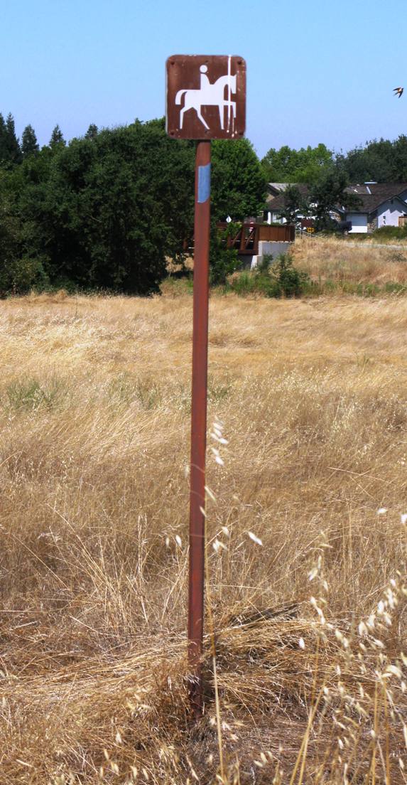
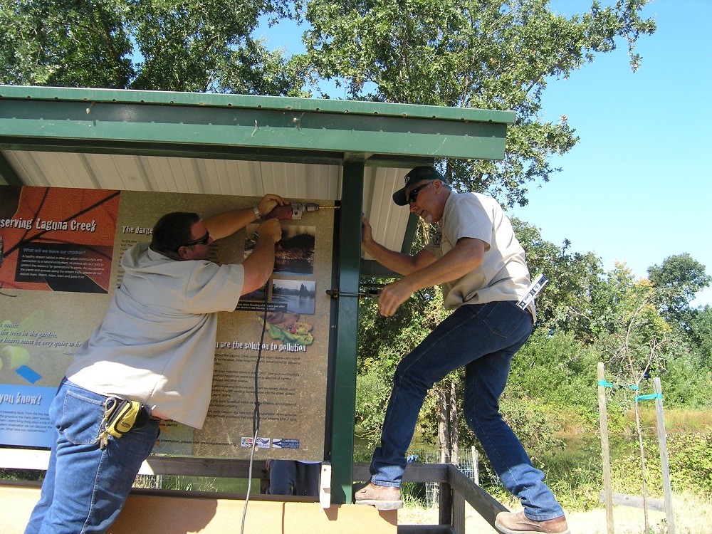
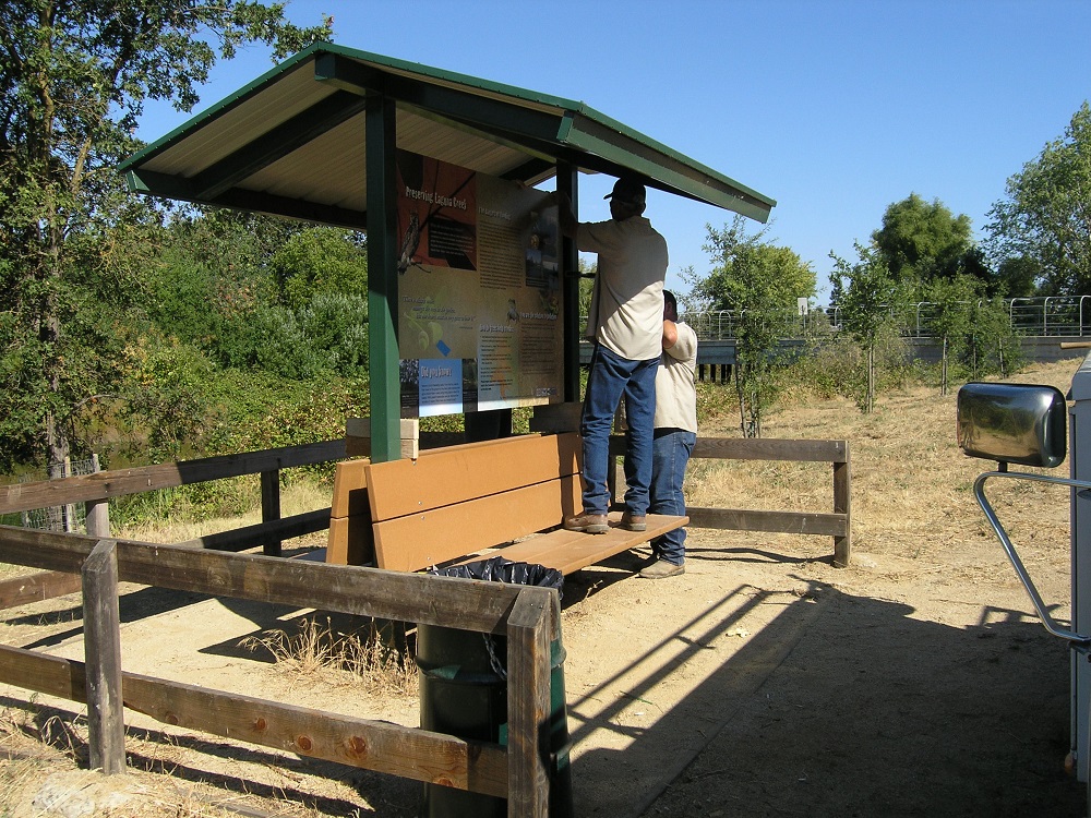
 The Laguna Creek Watershed Council has partnered with the Cosumnes Community Services District, the City of Elk Grove, developer groups, and a local graphic artist to produce several streamside trail signs along both Laguna and Elk Grove Creeks.
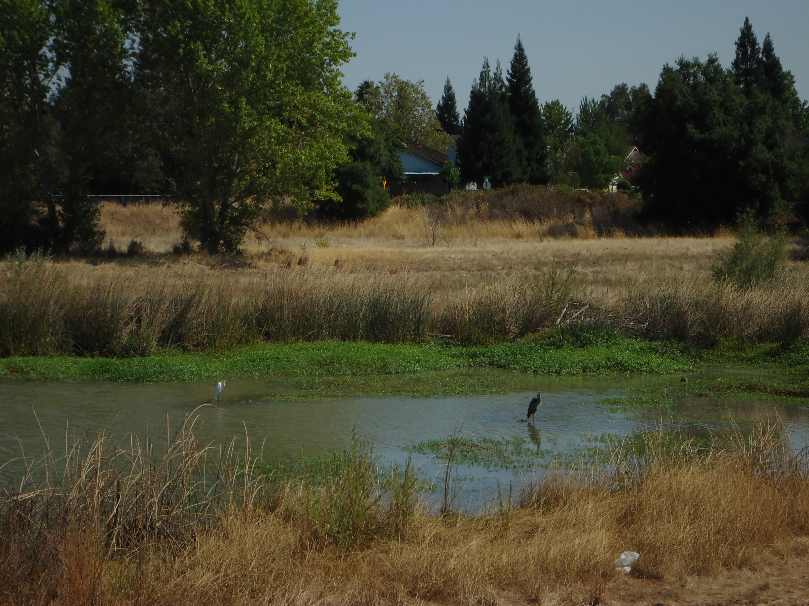
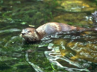
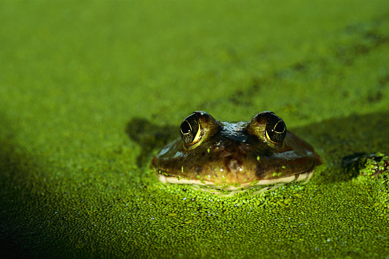
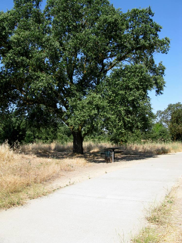
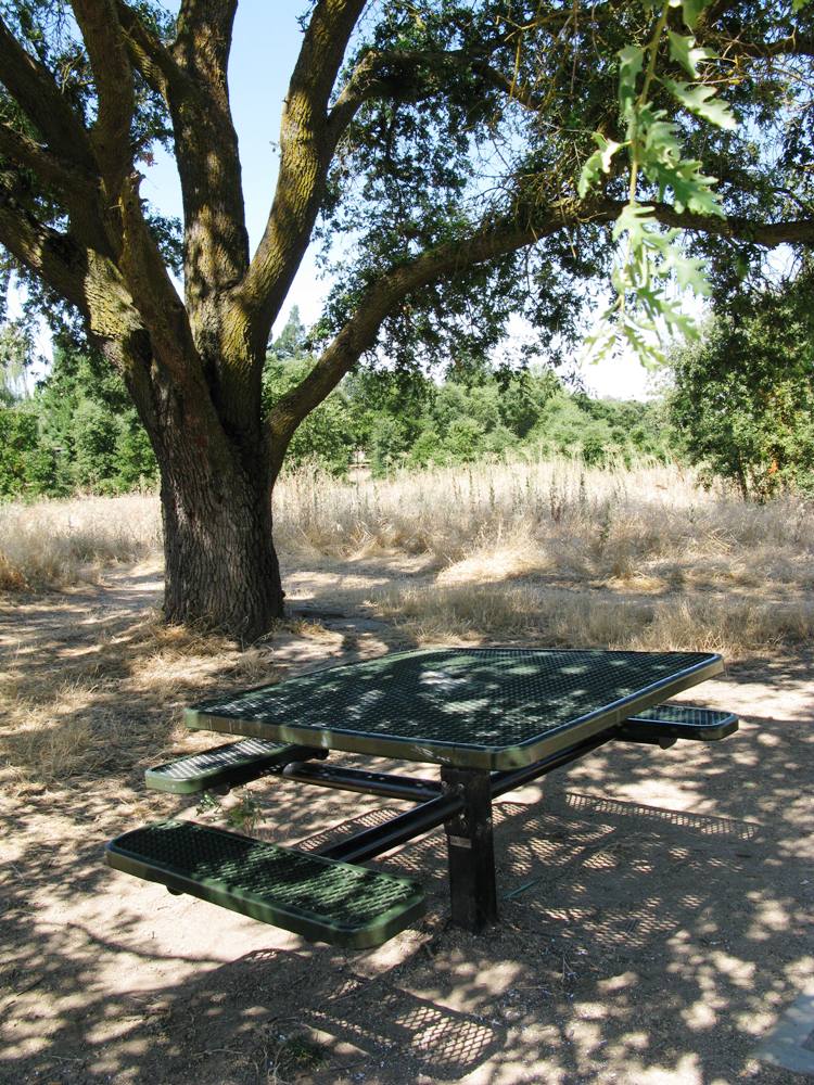
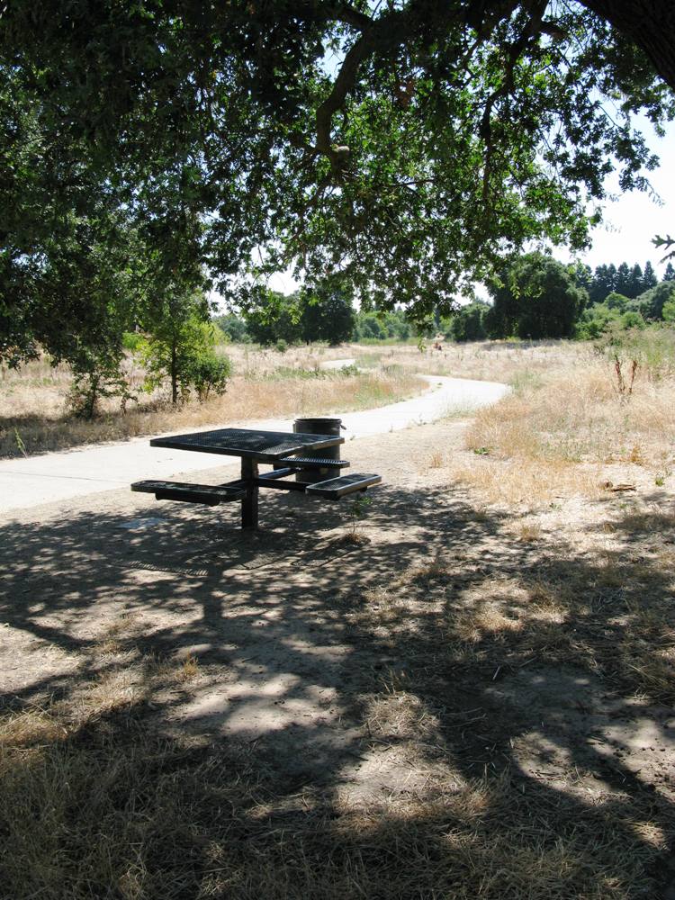
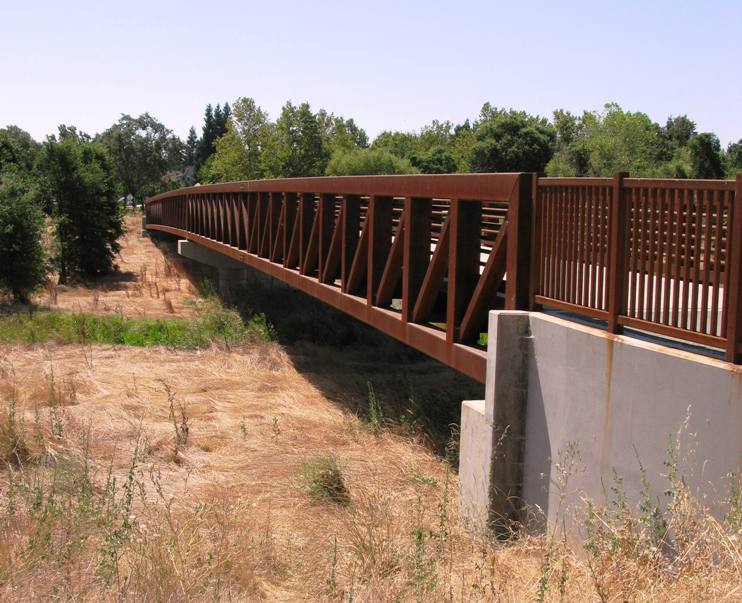
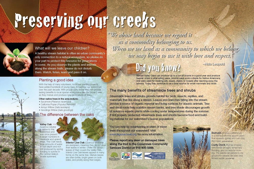
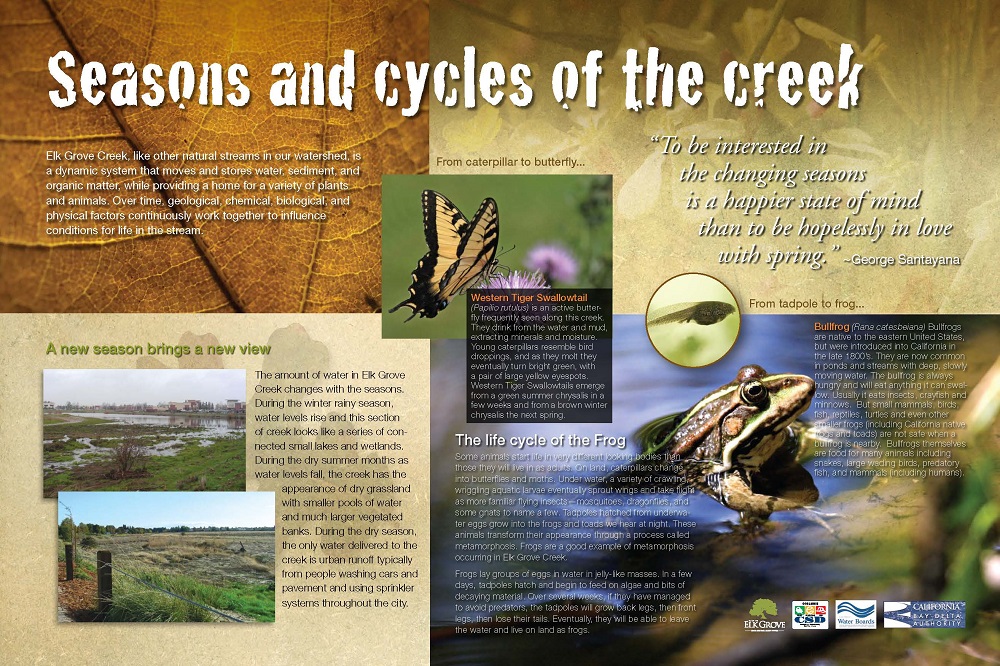
The value of interpretive signs is that they relate the natural history of the area as well as interesting information about plants and animals that frequent the area around the sign. You can see the them along streamside trails at Del Meyer Park, the Creekside trail (site of the old Fish Hatchery), at Pinkerton Park, and along the Laguna Springs Trail along Elk Grove Creek just south of Laguna Blvd. (along the trail behind Peet’s Coffee). Signs have also been installed along Elk Grove Creek near the Laguna Blvd. crossing, on the Longleaf Drive bridge, on the Camden Spur trail, and elsewhere. New signs are being prepared for new developments as well. The Council, working with our partners, plans to install signs throughout the watershed.
Look for the signs along the way next time you’re walking or biking the trails!
Sign 1 QR Code DEMO

Sign 2 QR Code DEMO

Sign 3 QR Code DEMO

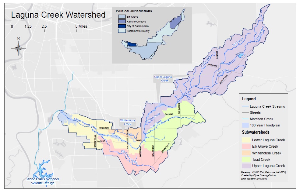
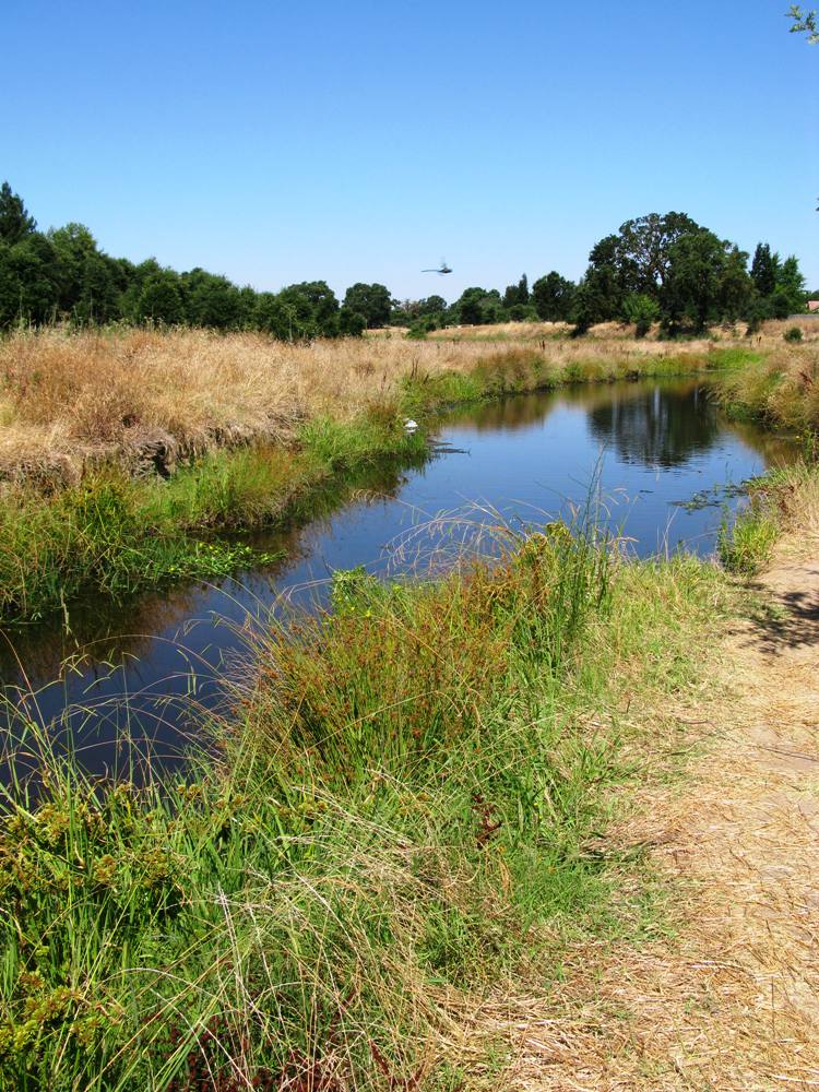
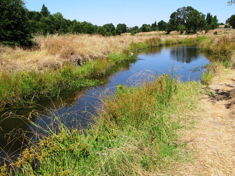
Today’s Laguna Creek Parkway is a system of existing and proposed trails envisioned to connect the Sacramento Levee trail system to the American River Parkway via the Laguna Creek corridor and the Folsom South Canal.
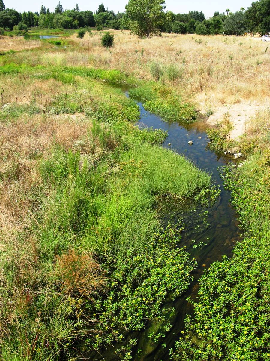
Currently, for Laguna Creek alone, discontinuous trail sections account for about 10 of the 25 miles of creek. Similar situations exist with tributary creeks. As discussed previously, the planning, construction and maintenance of the existing recreational trails and riparian corridor buffers was financed by requirements and assessments placed on new streamside development projects. As a result, existing trail sections have developed in piecemeal fashion, and not always in a manner that has balanced habitat, flood risk reduction, and water quality with the recreational and financial goals of the development. Connecting these fragments will be a challenge because there is no funding mechanism and grant programs are highly competitive. An additional hurdle is property ownership. Some sections of Laguna Creek and its tributaries are located on private property, and landowners may not grant public access through their land.
The City of Elk Grove, the Cosumnes CSD, and Southgate have Trails Master Plans that include conceptualized alignments for the remaining sections of the Laguna Creek Parkway. The Upper Laguna Creek Corridor Master Plan will propose additional details concerning trail alignments and riparian buffer characteristics for the Laguna Creek corridor upstream of Waterman Rd. Three proposed development projects (Cordova Hills, Sun Creek, and the Arboretum developments) in the uppermost reaches of the watershed have trail systems associated with their project designs that will connect to the Parkway at the Folsom South Canal, with the potential of connecting to the proposed Deer Creek Hills / Alder Creek trail systems to the east.
In the lower watershed, the City of Sacramento and the SRCSD Bufferlands are exploring trail alignment options that will continue the Laguna Creek Parkway west from its current terminus at Franklin Blvd., northwest through the Bufferlands, and west through the City of Sacramento’s proposed Delta Shores development to the Sacramento Levee trail system.
To connect existing trail sections, and to expand and complete the Laguna Creek Parkway, the LCWC recommends a watershed-wide, multi-faceted planning strategy for recreational trails that will require regional collaboration to incorporate Trails Master Plans developed by the City of Elk Grove (Elk Grove Trails Committee 2007), the Cosumnes Community Services District (CCSD), and Southgate Recreation and Parks District (Southgate), as well as the interests of streamside homeowners.
In addition to planning future reaches of the Laguna Creek Parkway, the development of future parks by the City of Elk Grove, the Cosumnes CSD, the City of Sacramento, and Southgate should include efforts to link spur trails from new parks and developments to the main Laguna Creek Parkway.
Report A Concern
The Laguna Creek Watershed Council appreciates your interest in the health and maintenance of the watershed.
There are several local agencies who have responsibilities for different aspects of the watershed and the surrounding environment. To report trail vandalism or general trail maintenance concerns, use the appropriate contact information from the list below.
Who Should Know?
If you experience flooding near or on your property, or you want to report flooding in the road that might pose a driving hazard, contact the City of Elk Grove, Public Works Department Emergency Contact Number: (916) 405-5688
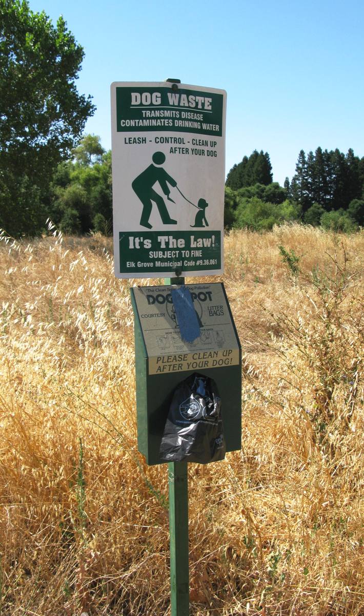
To report leaking sprinklers in medians, rights of way, or public parks systems around Elk Grove, contact the Cosumnes Community Services District at (916) 405-5688.
For developed trails along Laguna Creek north of Calvine Road contact: Southgate Recreation and Park District: (916) 428-1171
For developed creekside trails (Laguna, Whitehouse, Elk Grove Creeks) between Calvine and Bruceville Roads contact: Cosumnes Community Services District Maintenance Hotline: (916) 405-5688

For the developed trail in the North Laguna Wildlife Area south of Laguna Creek (between Bruceville and Franklin Roads) contact: Cosumnes Community Services District Maintenance Hotline: (916) 405-5688
For the developed trail in the North Laguna Wildlife Area north of Laguna Creek (between Bruceville and Franklin Roads) contact: City of Sacramento Parks Department: (916) 808-5200
If you have other concerns such as invasive creekside plants, or planned and current development projects impacting the watershed, please email us at info@lagunacreek.org.